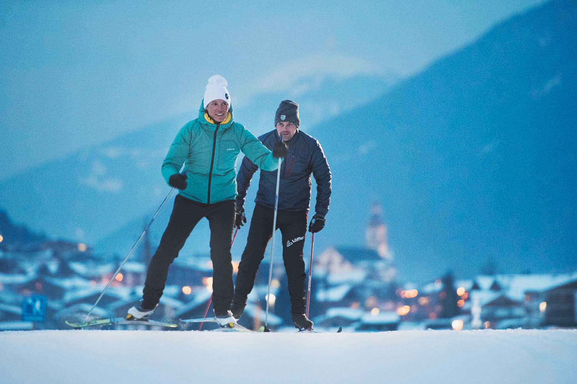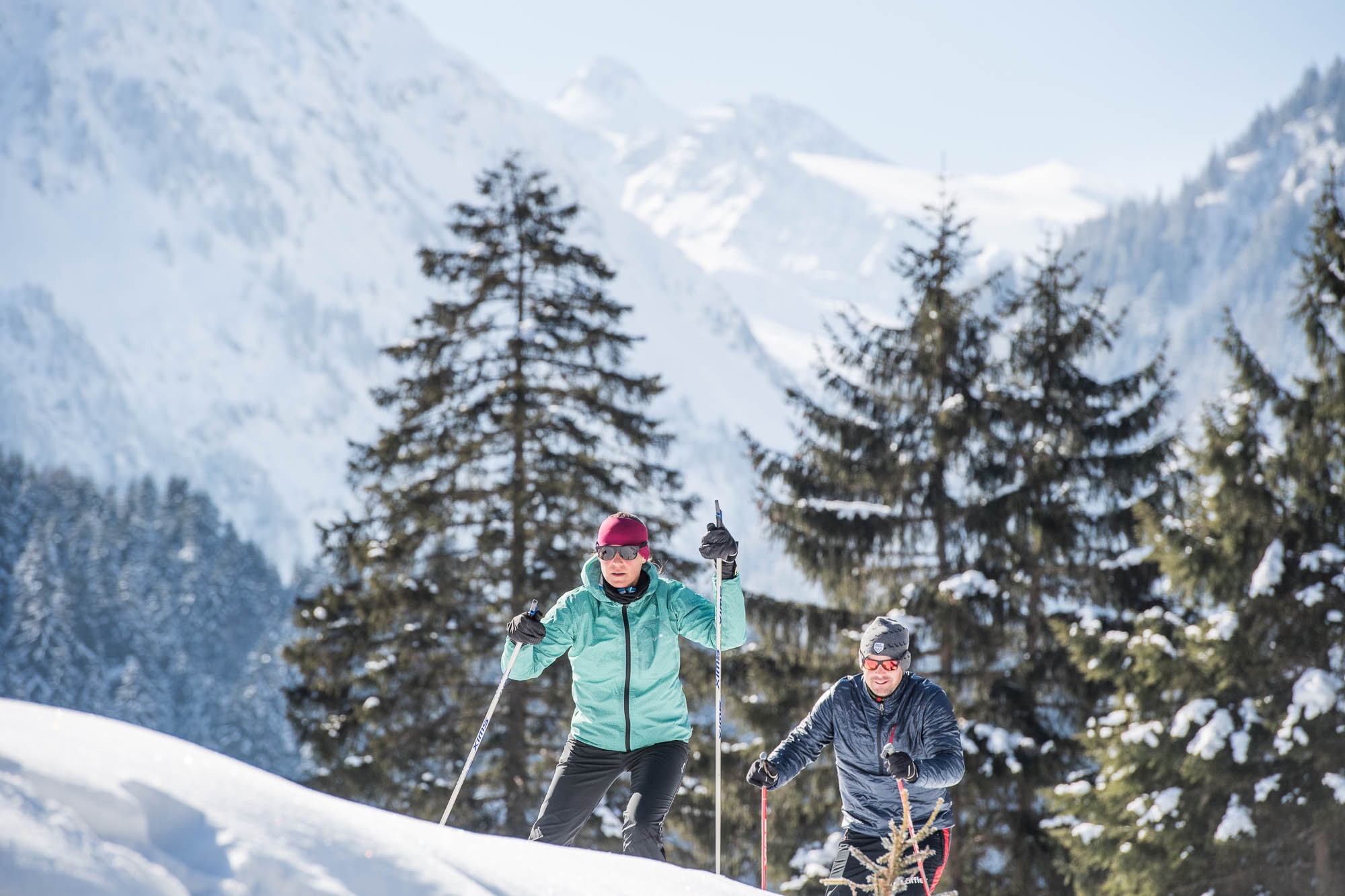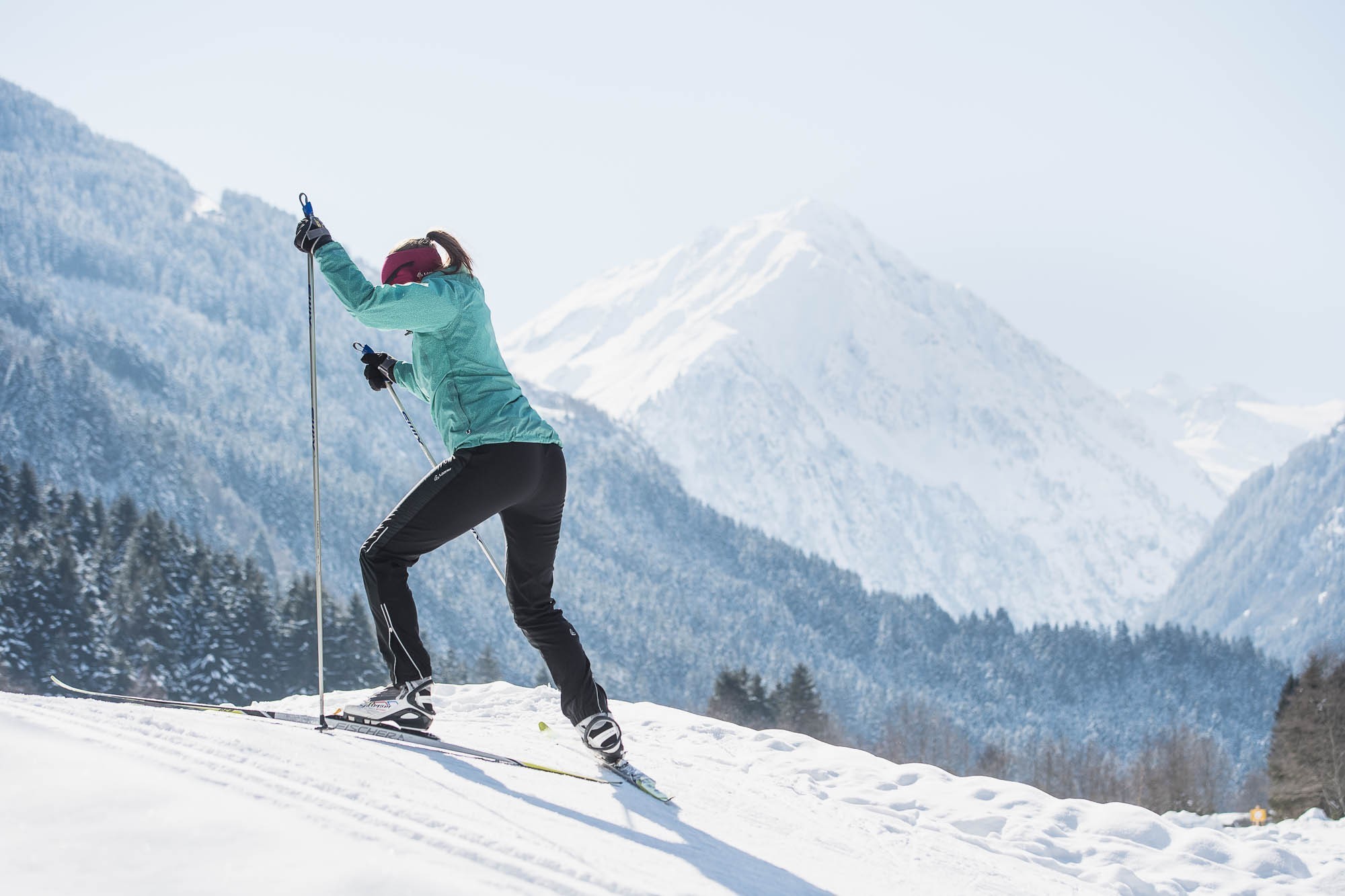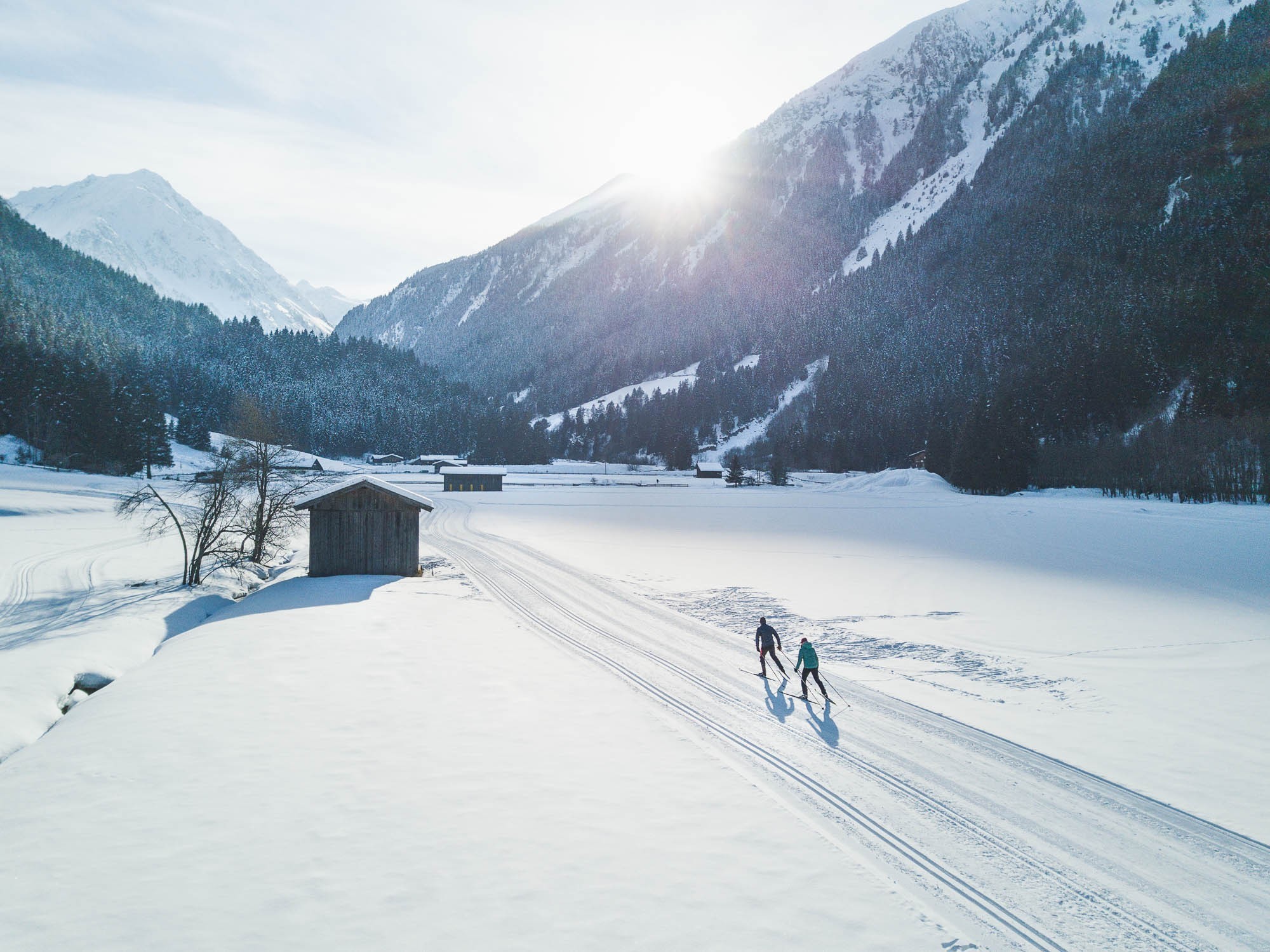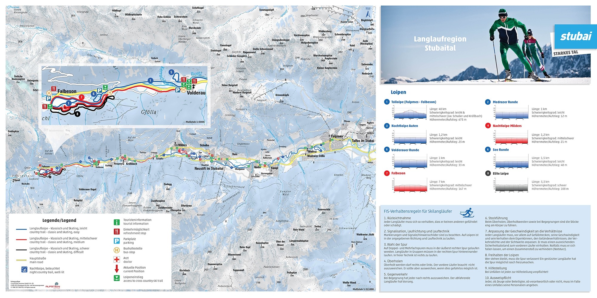
The Cross-Country Area
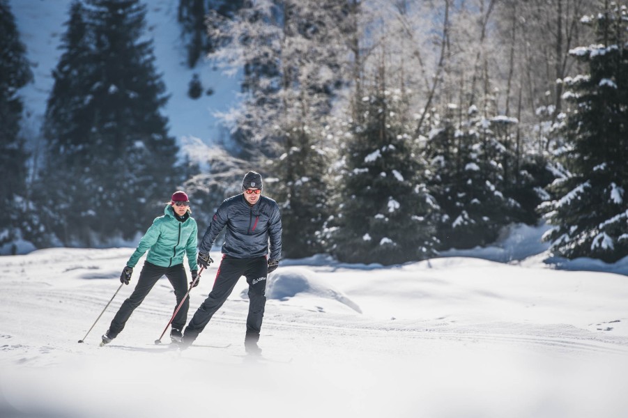
The Stubai Valley offers ideal conditions for all fans of cross-country skiing: a good choice of various cross-country ski runs in a magnificent scenery. Neustift in the Stubaivalley offers one of the longest cross-country ski runs in the Stubaivalley, the Talloipe ( valley-cross-country ski run). 27 km of finest cross-country skiing delight! As reccomendable: the Gletscherloipe (glacier-cross-country ski run) at a sealevel of 2600m.
Talloipe Stubai: From Kampl to Volderau with additional loops, 27km in a height of 1.000 to 1.150 m , 2 classic and one skating – run, easy with medium-difficult passages, special: countryside – lake at the starting point.
Moosloipe (moss – cross - country ski run) between Neustift village and Neder. 3 km at a sealevel of 1.000m, 2 classic and one skating – run, easy, special: near to the village centre.
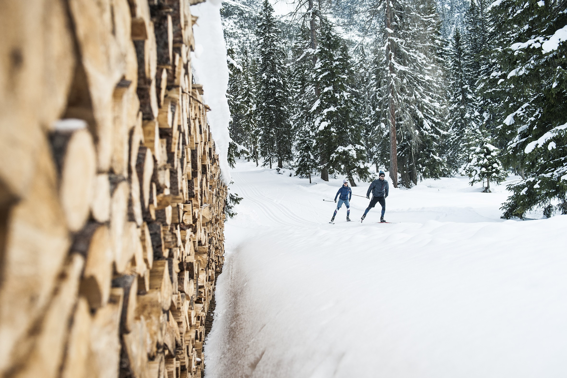
Waldloipe ( wood – cross- country ski run) between Volderau and Falbeson 10 km at a sealevel of 1.150m and 1.250m, 2 classic and one skating – run, medium – difficult, special: next to a stream through the winterwoods.
Gletscherloipe: the 5 km long high cross –country run (2.600 m above sealevel) at the icelake, with a height difference of 60 metres, can be easily reached via the cable car Gamsgarten. This cross – country ski run takes you from the icelake in direction double- chair lift Daunferner, further in direction Wilde Grube and from there in a big loop to the end of the Daunferner and back again to the starting point, the restaurant Gamsgarten.
The Schlick offers enthusiastic cross - country skiers a ski run in a magnificent landscape . Cross – country skiing in breathtaking scenery. You can reach the ski run from the parking area at the bottom of the lift via cable car Froneben. Then either with a jeep to the Schlicker Boden, or already skiing on a slightly uphill run. From there you join the circle – cross – country run ( 1 km, vey easy), or turn left at the Schlicker Boden to the Galtalm, total length of 3 km, well suitable for the slightly advanced.
Four beautiful cross country ski runs await you in Mieders/Schönberg of various levels of difficulty. Special tip: the Serles cross country ski run – cross country skiing in grand scenery. Cross country ski run Mieders 5 km, height difference of 55 m, leading you from starting point A to the Ochsenhut and further on to the marking C ( 1635m) Serles cross country ski run 14 km, cross country ski run RED: height difference of 230m, starts of the same as the beggining of the cros country run BLUE, takes a turn at point B, passes point D, further on to the monastery inn Maria Waldrast. The cross country run carries on underneath the inn, with alternating ascents and descents, to point E – here you have the possibility of returning to Maria Waldrast on the „WIR“ – cross country run – or to head on to point G, then either on the Serles cross country run further on to the intersection of the outgoing cross country runs, and then to the starting point A, or you carry on to the Alp inn Gleins. Kaser cross country run 10 km, RED: height difference 230 m, leads you from starting point A to point D, take a turn left, slight ascent to the highest point of the cross country ski centre (1770m) – magnificent panorama view – the loop at point F takes you back the run you came. Gleins cross country ski run 1,5 km, BLUE: starting point: Schönberg, Gleins inn, after 1,5 km entry into the Serles - net of cross country runs.
Interesting facts
- Stubai Valley is among the 5 best rated Cross-Country Skiing Areas in Tyrol.
- Elevated between 1,000 m and 2,617 m, the Cross-Country Skiing Area is among the 5 highest elevated Cross-Country Skiing Areas in Austria.
- Snow coverage is usually best during August, offering an average snow depth of 200 cm at summit elevation and 10 cm at the base. Therefore Stubai Valley is among the 5 cross-Country Skiing Areas with best snow conditions in Austria.